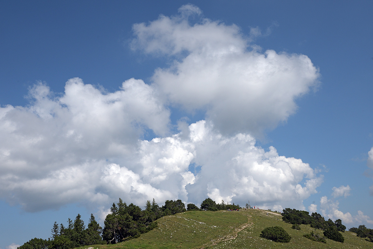
The Jura High Altitude Trail is 310 km long. Its lowest point is 320 m above sea level [near Brugg], the highest point 1680 m [Mont Tendre]. Walking from end to end takes about two weeks.
In the German-speaking areas the route is known [and signposted] as ‘Jura Höhenweg’, in the French-speaking areas [which cover the greater portion of the whole route] it is marked as ‘Chemin des Crêtes’. The trail offers stunning views of the Alps, the Black Forest and the Vosges. And en route: craggy cliffs and deep ravines, rivers and lakes, tranquil forests and extensive meadows, encounters with wild life and flora.
